Geophysics in Boise represents a critical non-invasive investigative discipline that maps subsurface conditions without disturbing the ground. This category encompasses a suite of advanced survey methods designed to characterize soil, rock, groundwater, and buried infrastructure. For a rapidly growing city situated at the foot of the Rocky Mountains, understanding what lies beneath the surface is essential for safe construction, environmental protection, and infrastructure resilience. Techniques such as GPR (Ground Penetrating Radar) survey and electrical resistivity imaging allow engineers and developers to visualize underground anomalies, from voids and fractures to contaminant plumes, before breaking ground.
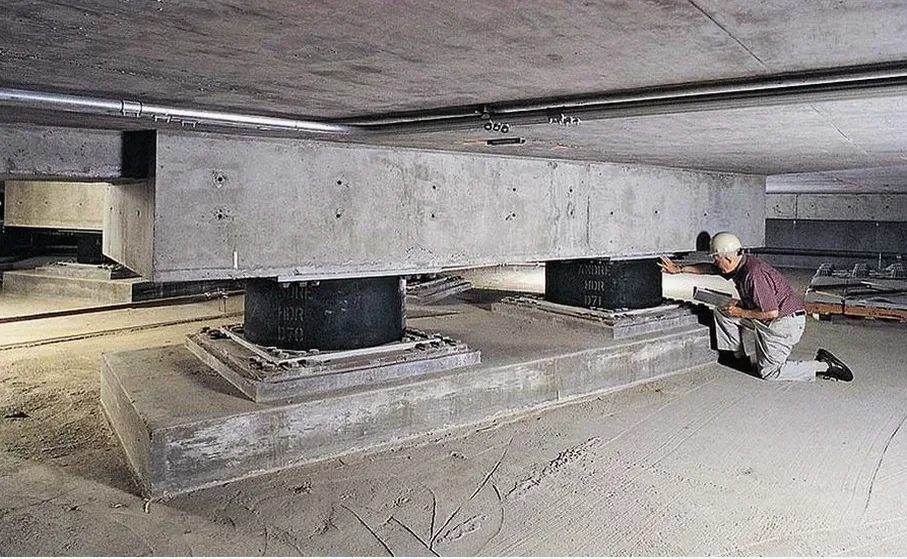
The local geology of Boise presents unique challenges that make geophysical surveys indispensable. The Treasure Valley is underlain by a complex sequence of Quaternary alluvial fan deposits, fluvial sediments from the Boise River, and interbedded volcanic layers associated with the Snake River Plain. This stratigraphy creates variable stiffness profiles and unpredictable bedrock depths. Near the Boise Front fault system, which runs along the northeastern edge of the city, site-specific seismic hazard assessment is particularly crucial. The basin-edge effect can amplify ground shaking, making the determination of shear wave velocity profiles through MASW / VS30 testing a standard requirement for structural design in the region.
Regulatory compliance in Boise is governed by the International Building Code (IBC) as adopted by the State of Idaho and locally enforced by the City of Boise Planning and Development Services. The IBC mandates site-specific seismic site classification based on the average shear wave velocity in the upper 30 meters (Vs30), directly referencing ASCE 7 standards. This drives the demand for geophysical methods capable of measuring dynamic soil properties. Furthermore, the Idaho Department of Environmental Quality (DEQ) requires subsurface investigations for brownfield redevelopment and underground storage tank (UST) removal, where electrical resistivity / VES surveys prove highly effective in delineating contaminant boundaries without invasive drilling.
The application of these techniques spans a wide range of projects across the Boise metropolitan area. Geotechnical engineers rely on HVSR microtremor survey (Nakamura method) to efficiently estimate fundamental site periods for mid-rise buildings in downtown Boise, where passive-source methods are preferred due to urban noise restrictions. Infrastructure projects, such as the expansion of the Boise Airport or roadway improvements along I-84, utilize GPR to locate utilities and assess pavement thickness. In the residential foothills, where homes are constructed on steep slopes with colluvial soils, electrical resistivity profiling helps map depth to competent bearing strata, mitigating landslide risk.
Common questions
What are the primary objectives of a geophysical investigation in Boise?
Geophysical investigations in Boise aim to non-invasively characterize subsurface conditions, including soil layering, depth to bedrock, and groundwater presence. Given the area's seismic activity near the Boise Front fault, a key objective is determining dynamic soil properties for seismic site classification per IBC standards, along with locating buried utilities or contaminant plumes for environmental due diligence.
How do local geological conditions in the Treasure Valley affect geophysical survey design?
The Treasure Valley's geology, consisting of alluvial fans, river sediments, and basalt flows, creates sharp contrasts in electrical resistivity and seismic velocity. Survey design must account for cultural noise in urban Boise and the potential for shallow basalt to mask deeper targets. Multi-method approaches are often necessary to resolve complex stratigraphy accurately.
Which building code requirements in Idaho necessitate geophysical testing?
The Idaho-adopted International Building Code (IBC) requires seismic site classification based on ASCE 7. This mandates measuring the average shear wave velocity (Vs30) in the upper 30 meters. Geophysical methods like MASW or HVSR are the standard means to obtain these velocity profiles, directly impacting structural design loads for new construction in Boise.
What is the typical difference between active and passive geophysical methods for site characterization?
Active methods, such as GPR or Electrical Resistivity, introduce a controlled signal into the ground to measure physical properties directly. Passive methods, like HVSR microtremor surveys, rely on ambient environmental noise to determine site response. Passive techniques are often preferred in dense urban settings like downtown Boise where triggering active sources is impractical.